
Destination Heat Mapping – Finding Comfortable Travel Zones
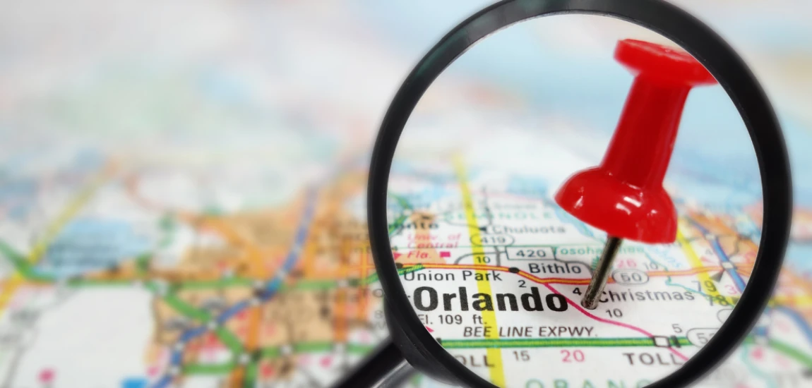
Travel comfort is becoming increasingly important as destinations experience hotter temperatures, longer heat waves, and changing weather patterns. Travelers may visit the same city but have very different experiences depending on where and when they spend their time. A shaded park can feel comfortable while a nearby concrete plaza may feel extremely hot. A coastal street may offer cooling breezes while an inland neighborhood can feel much warmer. These differences make understanding local temperature patterns valuable for both travelers and tourism planners.
This is where destination heat mapping can play an important role. Destination heat mapping uses geographic information, weather data, satellite observations, sensors, land-use information, vegetation coverage, building density, and other environmental factors to identify areas with different heat conditions. Instead of treating an entire destination as having one temperature, heat mapping creates a more detailed picture of where travelers are likely to experience greater or lower heat exposure.
Comfortable travel zones can include tree-covered streets, waterfront areas, parks, shaded attractions, air-conditioned public facilities, elevated locations, and neighborhoods with better ventilation. Hotter zones may include large paved areas, dense urban centers, traffic-heavy roads, exposed viewpoints, and locations with limited vegetation.
Heat maps can therefore become useful tools for tourism planning and travel decision-making. Travelers can use them to select better times and locations for outdoor activities, while tourism authorities can use them to improve shade, greenery, public transportation, water access, and visitor facilities.
As climate conditions continue to influence travel behavior, destination heat mapping can help create safer, more comfortable, and more climate-adaptive tourism experiences.
Understanding Destination Heat Mapping

Destination heat mapping is a method of identifying temperature differences and heat exposure across specific locations within a tourism destination. It provides a more detailed understanding of how heat affects different neighborhoods, attractions, streets, and public spaces.
How Heat Maps Identify Hot and Cool Areas
A destination can contain many different microclimates. Buildings, roads, trees, water, elevation, wind, surface materials, and human activity can all influence local temperatures.
Heat mapping collects information from sources such as weather stations, satellite imagery, thermal sensors, Internet of Things devices, and geographic information systems. This information can then be transformed into visual maps showing areas with different levels of heat.
For example, a city center may contain several blocks with high heat exposure because of concrete buildings and limited vegetation. A nearby botanical garden may have significantly lower surface temperatures because of trees, soil, and water.
These differences can be important for travelers who want to explore a destination comfortably.
Understanding Urban Heat Islands
One of the most important concepts connected to destination heat mapping is the urban heat island effect. Urban areas can become warmer than surrounding rural areas because roads, buildings, parking areas, and other surfaces absorb and retain heat.
Dense tourist districts can experience particularly high temperatures when large numbers of visitors gather in areas with limited shade.
Heat mapping helps identify these hotspots. Tourism managers can then determine where additional trees, shade structures, water stations, cooling centers, or visitor information may be needed.
Identifying Comfortable Travel Zones
The purpose of heat mapping is not simply to identify hot locations. It can also identify places where travelers may feel more comfortable.
Comfortable travel zones might include shaded pedestrian streets, green parks, waterfront promenades, museums, cultural centers, cafés, and areas with good airflow.
Creating a map of these locations can help visitors build itineraries that balance outdoor exploration with cooler activities.
Why Heat Mapping Matters for Modern Travelers

Heat can influence travel enjoyment, physical comfort, activity levels, and even decisions about where to visit. As temperatures become a stronger factor in tourism planning, travelers need better information about local heat conditions.
Improving Travel Comfort
A destination may have dozens of attractions, but they do not necessarily offer the same level of thermal comfort.
A visitor walking through an exposed historic district at midday may experience significant heat stress, while visiting a shaded museum or tree-covered garden at the same time may be much more comfortable.
Destination heat mapping allows travelers to understand these differences before planning their daily activities.
Instead of simply asking, “What attractions should I visit?” travelers can also ask, “Which attractions are most comfortable at this time of day?”
Supporting Better Daily Itineraries
Heat information can help travelers organize activities according to temperature patterns.
Outdoor sightseeing can be scheduled during cooler morning or evening periods, while museums, galleries, restaurants, shopping areas, and indoor attractions can be included during the hottest hours.
This creates a more balanced travel itinerary.
Travelers can also use heat maps to identify shorter walking routes, shaded pathways, parks for rest breaks, and nearby cooling locations.
Reducing Heat-Related Travel Risks
Extreme heat can create health and safety concerns, particularly for vulnerable travelers.
Heat mapping can help travelers avoid areas with excessive exposure and identify locations where they can rest, cool down, or access water.
Tourism businesses can also use this information to communicate heat-related advice to guests.
Hotels, tour operators, attractions, and destination management organizations can recommend cooler routes and appropriate visiting hours based on local heat conditions.
Technology Behind Destination Heat Mapping

Modern technology makes destination heat mapping more detailed and useful than traditional weather forecasting. Instead of providing one temperature for an entire city, advanced systems can analyze conditions at much smaller geographic scales.
Satellite and Thermal Imaging
Satellite technology can provide valuable information about land surface temperatures.
Thermal imagery can show which areas absorb significant amounts of heat and which locations remain relatively cooler.
For example, large parking lots and concrete plazas may appear as high-temperature zones, while forests, parks, and water bodies may appear cooler.
Tourism planners can combine this information with maps of attractions and visitor movement to understand where travelers are most likely to experience heat exposure.
Sensors and Real-Time Data
Internet of Things sensors can collect real-time environmental information.
Sensors placed in streets, parks, tourist attractions, transportation stations, and public spaces can measure temperature, humidity, wind conditions, and other environmental variables.
Real-time information can make heat maps more dynamic.
Instead of relying only on historical averages, travelers and tourism authorities can see how conditions are changing during the day.
This could eventually allow destination apps to recommend cooler locations automatically.
Artificial Intelligence and Predictive Mapping
Artificial intelligence can analyze large amounts of environmental and visitor data.
AI systems can identify patterns between weather conditions, infrastructure, vegetation, visitor density, and heat exposure.
Predictive models could estimate which areas are likely to become uncomfortable several hours ahead.
For example, a smart tourism platform might recommend a shaded attraction in the afternoon because a nearby outdoor attraction is expected to become extremely hot.
This creates opportunities for more adaptive and personalized travel planning.
Finding Comfortable Travel Zones Within a Destination

Not every cool or comfortable area is obvious. Travelers can use environmental characteristics and heat maps to identify locations that offer better thermal comfort.
Green Spaces and Tree-Covered Areas
Trees provide shade and can contribute to cooler local environments through evapotranspiration.
Parks, botanical gardens, tree-lined streets, and green corridors can therefore become valuable comfortable travel zones.
Travelers can use these areas not only for sightseeing but also as rest locations between major attractions.
Tourism planners can strengthen these benefits by connecting major attractions through shaded pedestrian routes.
Waterfront and Naturally Cooler Locations
Waterfront areas can sometimes benefit from cooling breezes and different microclimatic conditions.
Lakes, rivers, coastlines, and other water environments may provide more comfortable settings than densely built areas, although conditions vary by location and weather.
Tourism destinations can highlight waterfront walking paths, shaded seating areas, and nearby indoor facilities as part of heat-conscious visitor planning.
Indoor and Climate-Controlled Attractions
Museums, galleries, cultural centers, libraries, shopping areas, restaurants, and other indoor attractions can provide useful breaks during hot weather.
A heat-aware itinerary does not mean avoiding outdoor tourism completely. Instead, travelers can alternate outdoor activities with indoor experiences.
This approach can make sightseeing more comfortable while also helping visitors discover cultural and entertainment experiences they might otherwise overlook.


Shivya Nath authors "The Shooting Star," a blog that covers responsible and off-the-beaten-path travel. She writes about sustainable tourism and community-based experiences.
Shivya Nath

Prev Post

Next Post